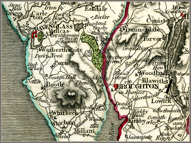
Cary's 1794 map detail: Duddon and Bootle
John Cary New Maps of England and Wales with part of Scotland (1794) no. 58.
Cary's New Itinerary (1798) suggests that the traveller should go from Duddon Bridge to Whicham, round the foot of Black Combe, and then to Bootle by the coast road. His maps, however, suggest that the road over the fell skirting to the north of Black Combe would be much shorter. Nowadays it is an unfenced road, and for the last stretch down into Bootle a green ride used largely for mountain biking. In the seventeeth century, however, it would be a good road. Cary's road maps were the first really accurate and detailed ones: he was Surveyor for the Post Office and responsible for the first Ordnance Surveys.
Image © Meg Twycross
Close window to return