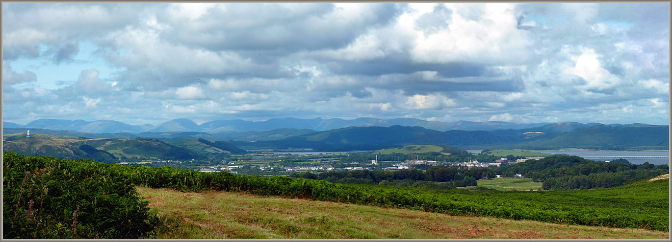
South Ulverston from Birkrigg Common looking East towards the Leven Estuary
The industrial estate is where the 18th-century canal used to be. Before that, it was the ‘common moss’ into which Fox was manhandled from the church. To the extreme left is the Barrow Monument on Hoad Hill (currently wrapped in plastic sheeting for renovations), above the town (concealed by the bracken). Moving to the right, the base of the hills along the edge of the estuary marks the line of the main road from Ulverston to Greenodd. In the flat land to the right of this is Plumpton where Justice Sawrey lived. Behind, the Leven estuary stretches from left to right towards Morecambe Bay. At the extreme right, the rail viaduct across this arm of the Bay, formerly one of the two passages across the sands to Cartmel. In this picture, the tide is in.
Image © Meg Twycross, 9 August 2009
Close window to return