Kendal, Kirkland
Image © Meg Twycross, 6 November 2010
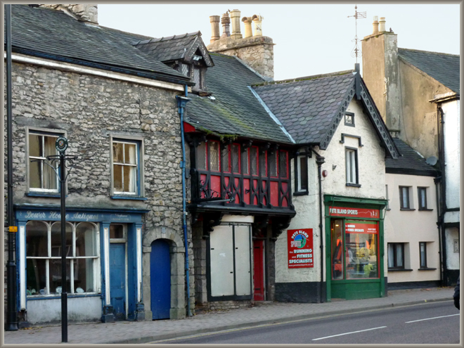
Once across the Nether Bridge the traveller would find himself in Kirkland. This area was an independent settlement, the ‘Church Land’, separated from Kendal proper by the Blind Beck. It can be seen on Speed’s 1611 map (below). This section of Church Lane is slightly further on than the parish church, and on the other side of the road.
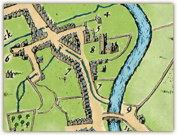
Kirkland: Detail from John Speed’s map of Kendal
from The Theatre of the Empire of Great Britain (London: George Humble, 1611-1612)
Image © Meg Twycross, based by kind permission on a reproduction by J. & J. Higham, Souvenir Antiques, Carlisle
The Blind Beck runs across the top of this section of the map. Speed also shows another stream running down the centre of Church Lane, apparently as an open gutter, to the River Kent.
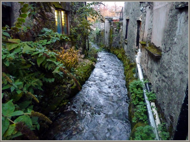
The Blind Beck as it is now, evening
Image © Meg Twycross, 6 November 2010