Task 5. Scenarios for NFM in each catchment
The NFM deployment scenarios used in modelling (Task 4) are set within this task and covered a range of intensive by feasible scenarios defined by our partners with their local expertise in NFM deployment possibilities (see e.g., Hankin et al., 2021b; Beven et al., 2022b). These scenarios came from a range of partner and wider stakeholder activities undertaken in Task 7.
Specific tasks:
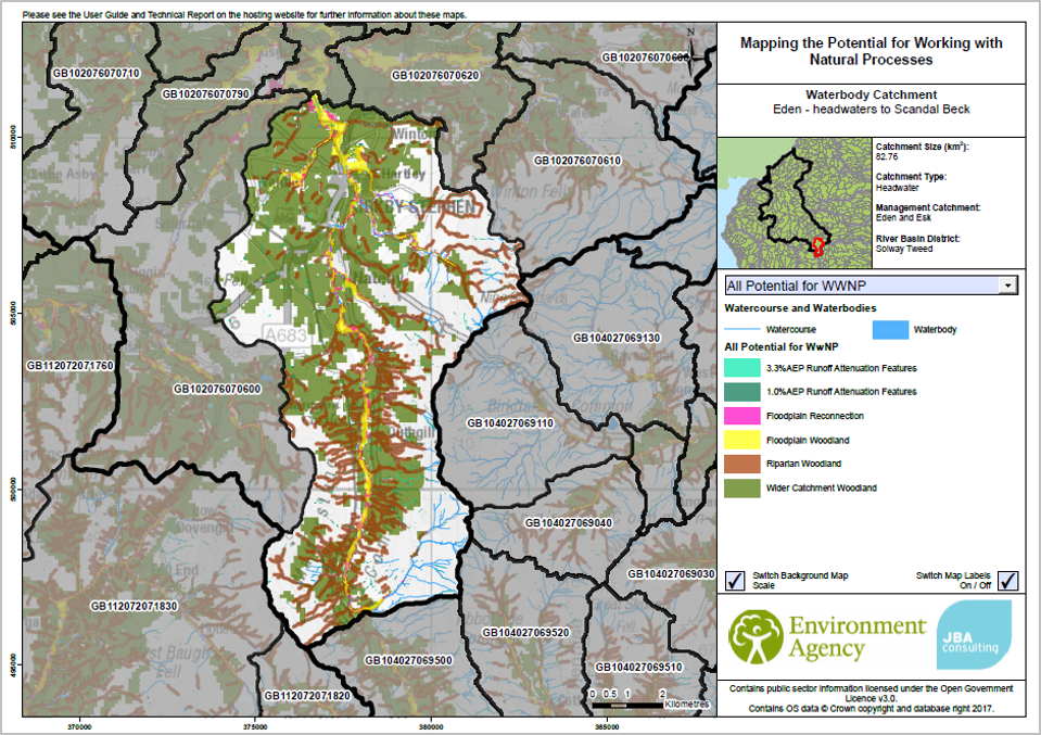
The maps were developed we help from JBA's spatial mapping platform. This platform was used to deliver NFM Opportunity Maps for the Environment Agency and allowed us to draw upon the acknowledged expertise of subcontractor, JBA Consulting. We used the same GIS platform to develop the maps for Task 5. The scenarios for the Task 5 maps were shaped by a range of differing environmental, social and economic needs and necessarily co-developed with our project partners (and wider stakeholders) in a series of workshops under Task 7.