
Task 2. New observations to inform the modelling and fill unacceptable evidence gaps
The investigator team, working with partners delivering NFM, collected new field-observed evidence of hydrological change at NFM-feature scales. This added to the existing scientific evidence base filling knowledge gaps and increasing our confidence in subsequent modelling results (see e.g., Beven et al., 2022 e14752).
Specific tasks:
Our experimental work to address component objective 2 combined a paired-plot experimental design and a <1 km2 micro-basin experimental design.
Task 2.1 Paired-plot experimental design: Many catchment hydrological parameters and variables are typically measured with instruments at sub-plot scales and a statistical distribution of these data integrated to plot scales (e.g., soil permeability, wet-canopy evaporation, soil moisture content etc.). We adopted this established approach, and standardised by placing 20x20 m square plots in pairs either side of boundaries of sites reflecting the sorts of changes arising from an NFM intervention. For example, a plot in intensively-managed grassland, close to the boundary of semi-natural grassland, where a second plot was be established (Wallace and Chappell, 2020). The exact mix of contrasts across boundaries studied depended on opportunity, gaps identified in the evidence base (Task 1) and on the suggestions from our partners (Task 7.1).
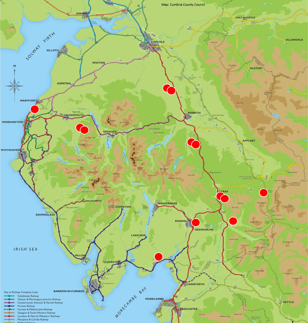
Task 2.2 Micro-basin (ca. 1 sq km) experimental design: Observing change in flood peaks within continuous streamflow records as a direct result of a single landscape intervention we have considered as the 'gold standard' for evidence of intervention effectiveness. Observing such changes (that can be attributed to a single intervention) at the scale of a large river catchment is, however, rarely possible because: (1) the landscape intervention typically does not cover most of the basin, (2) natural dynamics in rainfall-streamflow behaviour (see Mindham et al., 2023 work on the Q-NFM micro-basins) may mask the intervention effects, (3) the effect of the intervention on the hydrology sometimes needs to build over time e.g., due to tree growth, and/or (4) a nearby identical reference or control catchment monitored parallel to the catchment with the intervention is often difficult to find. By reducing the size of the catchment to be monitored to closer to the scale of the intervention, say perhaps 0.5-1 km square, may allow many of these issues to be better addressed (Chappell and Page, 2020). The cost of installing a new gauging structure on a stream when the basin area significantly exceeds 1 sq km also becomes restrictive and beyond the scope of the project resources. Because changes in flood hydrograph shape may to be relatively small, if gauging is undertaken at sites without a control structure (e.g., an environmentally acceptable trapezoidal flume), the uncertainties in the rating relationship may be large and so mask true differences in hydrograph shape between a basin with an intervention and either the control basin or pre-intervention state. Consequently, for this study we standardized the design of most our new field experiments to show flood peak change with the use of the identical trapezoidal flumes capable of containing 435 L/s (suitable for gauging micro-basins <1 km square).
Installing the micro-basin flume at Fellsike Gill