

Bolton
 Anti-Idyll
 Castle
 Distortion
 Encounter
 Idyll
Idyll Metalepsis
 Parlour
 Public Square
 Road
Road Threshold
 Provincial Town
 Wilderness
 Direct
 Indirect
 Interrupt
 Jump
Jump Projection
 Metatextual
 Paratextual
 Intratextual
Danbury

Farringdon
Bolton, Danbury and Farringdon
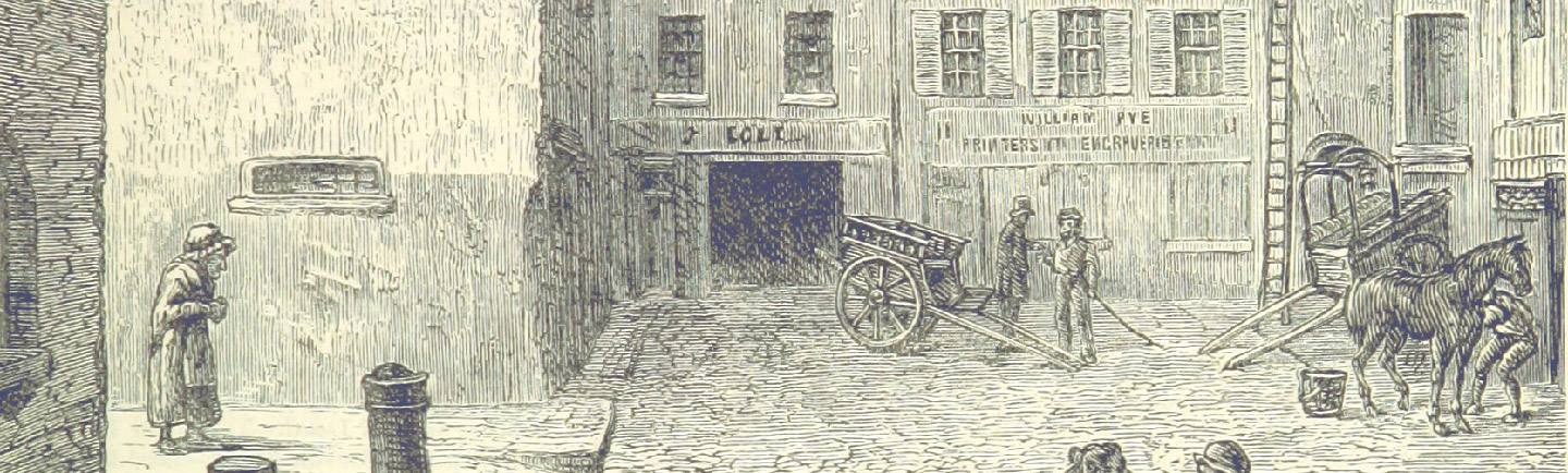
For this text we have also created a series of sub-maps for distinct areas. The northern setting of Bolton is far less demarcated and precisely named than that of inner London. The toporefs are broad and stereotypical, associating Bolton with industry and the north. A possible reason for this is that it is the site of Clara’s escape. The vagueness of the spatial descriptions suggest that the narration is complicit in Clara’s concealment. The toporefs also look to London (albeit its simulacra in the theatrical melodrama) and act as a precursor for her ultimate return.
Like Bolton, Danbury is full of non-place-specific topographical features that emphasise country stereotypes rather than offering the roll-call of street/area names that characterises the Clerkenwell topoi.
The Farringdon Road topos, by contrast to Danbury and Bolton, insinuates a near-obsession with identification. It also reveals that the correspondent places of Oliver Twist, such as ‘Smithfield’ and ‘Newgate’, are more often looked at (the purple dotted lines of indirect connections) than visited.
The tools used to make these visualisations are available on Github at
https://github.com/chronotopic-cartographies/visualisation-generators.