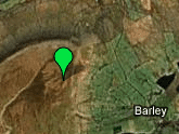
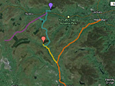
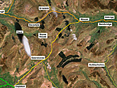
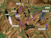
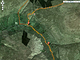
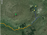
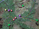
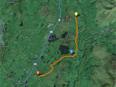
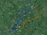
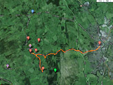
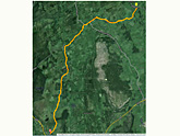
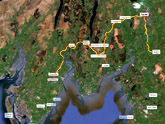
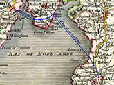
Plotting the Route
All these routes have been tested, and can be followed, preferably in a small car with a robust suspension. The exceptions are the Roman Road from Bainbridge to Gearstones, and the routes across the Sands.
Only attempt the latter (from Hest Bank to Humphrey Head) on one of the official guided Bay Walks. Do not attempt to cross the Leven Estuary unguided.
The photographs were taken on these expeditions. On the day of the climb to the summit of Pendle Hill the atmosphere was not sufficiently clear to take sharp photographs of a Fox’s-eye view North,
and those taken on another occasion from the shoulder of the Hill have to suffice.
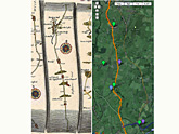
Maps 1-2 and 5-14 link to active Google Maps. The maps from Underbarrow onwards have been drawn onto static images from Google, and are awaiting transfer to the real thing.
Work on this page is ongoing.
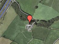
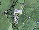
Click on an image to go to the page.
|