
Environment and Agriculture
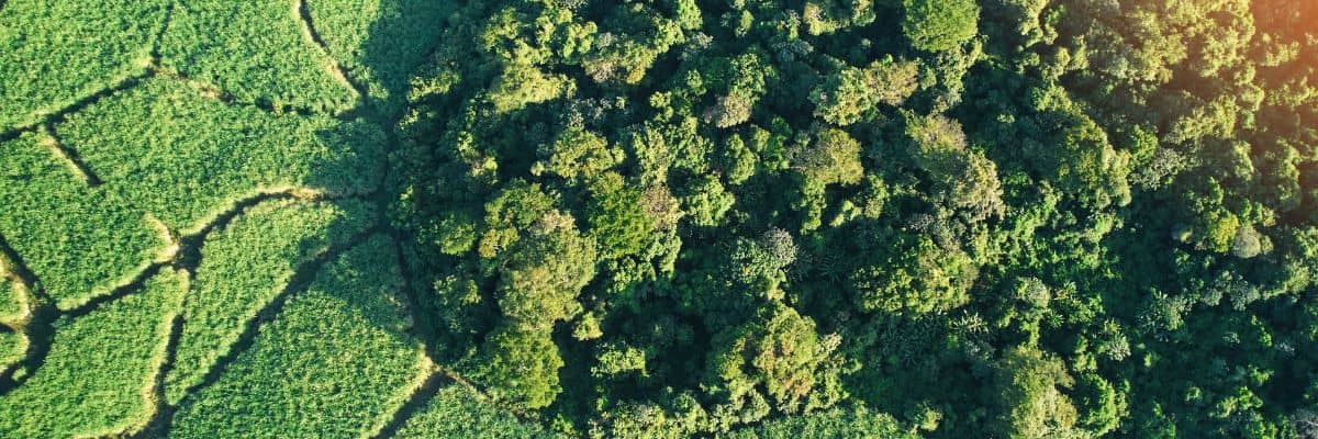
The focus of the Environment and Agriculture Theme is to apply advanced data collection and analysis methods to address environmental grand challenges, covering precision agriculture to various environmental applications. We have cross-disciplinary expertise in developing machine learning and AI, spatial and space-time statistics, and data fusion techniques for geospatial science and remote sensing.
Theme Leads
Professor Michael James
Professor in VolcanologyDSI - Environment, Earth Science, Environment and Agriculture, Lancaster Intelligent, Robotic and Autonomous Systems Centre, Understanding a changing planet
Dr Ce Zhang
Lecturer in GeoSpatial Data ScienceCentre of Excellence in Environmental Data Science, DSI - Environment, Environment and Agriculture, Geospatial Data Science, Lancaster Intelligent, Robotic and Autonomous Systems Centre
People
Professor Michael James
Professor in VolcanologyDSI - Environment, Earth Science, Environment and Agriculture, Lancaster Intelligent, Robotic and Autonomous Systems Centre, Understanding a changing planet
Dr Ce Zhang
Lecturer in GeoSpatial Data ScienceCentre of Excellence in Environmental Data Science, DSI - Environment, Environment and Agriculture, Geospatial Data Science, Lancaster Intelligent, Robotic and Autonomous Systems Centre
Publications
Edited volumes and conference proceedings.
- Xu, K, Wu, C, Zhang, C & Hu, B 2021, 'Uncertainty assessment of drought characteristics projections in humid subtropical basins in China based on multiple CMIP5 models and different index definitions', Journal of Hydrology, vol. 600, 126502, pp. 1-17.https://doi.org/10.1016/j.jhydrol.2021.126502
- Wen, Z, Zhang, C, Shao, G, Wu, S & Atkinson, P 2021, 'Ensembles of multiple spectral water indices for improving surface water classification', International Journal of Applied Earth Observation and Geoinformation, vol. 96, 102278. https://doi.org/10.1016/j.jag.2020.102278
- Li, R, Zheng, S, Duan, C, Su, J & Zhang, C 2021, 'Multi-stage Attention ResU-Net for Semantic Segmentation of Fine-Resolution Remote Sensing Images', IEEE Geoscience and Remote Sensing Letters, pp. 1-5. https://doi.org/10.1109/LGRS.2021.3063381
- Li, R, Duan, C, Zheng, S, Zhang, C & Atkinson, P 2021, 'MACU-Net for Semantic Segmentation of Fine-Resolution Remotely Sensed Images', IEEE Geoscience and Remote Sensing Letters, pp. 1-5. https://doi.org/10.1109/LGRS.2021.3052886
- Zhang, X, Su, H, Zhang, C, Gu, X, Tan, X & Atkinson, P 2021, 'Robust unsupervised small area change detection from SAR imagery using deep learning', ISPRS Journal of Photogrammetry and Remote Sensing, vol. 173, pp. 79-94. https://doi.org/10.1016/j.isprsjprs.2021.01.004
- Jin, Y, Xu, W, Zhang, C, Luo, X & Jia, H 2021, 'BARNet: Boundary-Aware Refined Network for Automatic Building Extraction in Very High-Resolution Urban Aerial Images', Remote Sensing, vol. 13, no. 4, 692. https://doi.org/10.3390/rs13040692
- Li, F, Li, E, Zhang, C, Samat, A, Liu, W, Li, C & Atkinson, P 2021, 'Estimating Artificial Impervious Surface Percentage in Asia by Fusing Multi-Temporal MODIS and VIIRS Nighttime Light Data', Remote Sensing, vol. 13, no. 2, 212, pp. 1-22. https://doi.org/10.3390/rs13020212
- Wang, X, Zheng, S, Zhang, C, Li, R & Gui, L 2021, 'R-YOLO: A Real-Time Text Detector for Natural Scenes with Arbitrary Rotation', Sensors, vol. 21, no. 3, 888, pp. 1-20. https://doi.org/10.3390/s21030888
- Gu, X, Angelov, P, Zhang, C & Atkinson, P 2020, 'A Semi-Supervised Deep Rule-Based Approach for Complex Satellite Sensor Image Analysis', IEEE Transactions on Pattern Analysis and Machine Intelligence. https://doi.org/10.1109/TPAMI.2020.3048268
- Zhang, C, Atkinson, P, George, C, Wen, Z, Diazgranados, M & Gerard, F 2020, 'Identifying and mapping individual plants in a highly diverse high-elevation ecosystem using UAV imagery and deep learning', ISPRS Journal of Photogrammetry and Remote Sensing, vol. 169, pp. 280-291. https://doi.org/10.1016/j.isprsjprs.2020.09.025
- Li, H, Zhang, C, Zhang, S & Atkinson, P 2020, 'Crop classification from full-year fully-polarimetric L-band UAVSAR time-series using the Random Forest algorithm', International Journal of Applied Earth Observation and Geoinformation, vol. 87, 102032. https://doi.org/10.1016/j.jag.2019.102032
- James, MR, Carr, B , D’Arcy, F, Diefenbach, AK, Dietterich, HR, Fornaciai, A, Lev, E, Liu, EJ, Pieri, DC, Rodgers, M, Smets, B, Terada, A, von Aulock, FW, Walter, TR, Wood, KT, Zorn, EU (2020) Volcanological application of unoccupied aircraft systems (UAS): Developments, strategies and future challenges, Volcanica, 3(1), 67–114, https://doi.org/10.30909/vol.03.01.67114
- James, MR, Antoniazza, G, Robson, S & Lane, SN (2020) Mitigating systematic error in topographic models for geomorphic change detection: Accuracy, precision and considerations beyond off-nadir imagery, Earth Surface Processes and Landforms, 45, 2251–2271, https://doi.org/10.1002/esp.4878
Projects
2018 - 2021 | Co-I and Theme Lead, EPSRC New Approaches to Data Science Programme, Data science of the natural environment, £2.5m, of which FEC 10% to Atkinson. |
2018 | PI, NERC India-UK Water Centre (IUKWC), International workshop: Advancing drought monitoring, prediction and management capabilities, £30,000. |
2015 - 2016 | Co-I, STFC-administered Newton Fund, Remote sensing for sustainable intensification in China through improved farm decision-making, £500,000 of which £82,500 to Atkinson. |
2015 - 2016 | Co-I, Hong Kong Research Council, Spatio-temporal sub-pixel mapping for continuous land-cover/land-use monitoring, $HK1,123,400, of which $HK105,000 to Atkinson. |
2015 | Co-PI, Ordnance Survey, ImageLearn: Deep Learning in Ordnance Survey Datasets (includes 2% FEC to Atkinson) £62,374. |