

Lancaster Environment Centre research helps reduce uncertainty in flood risk assessments
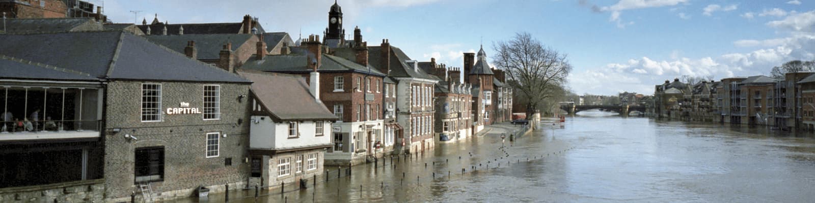
Significant flood events between 2000 and 2020 cost up to £4.2 billion in economic damages, claimed 27 lives and flooded 90,000 households. Environmentalists from Lancaster worked with government to improve understanding of flood risk and demonstrate where adaptations can have the most impact, protecting life and billions in assets. As a result, the way flooding is represented in the UK risk register was improved.
Improved flood risk modelling based on risk and uncertainty research by Distinguished Professor Keith Beven and Professor Rob Lamb has been applied across the UK to provide the Government with a more realistic understanding of inland flood risk, from catchment to national scales – protecting life and assets – and resulting in improvements to the UK National Risk Register.
- The application of novel statistical methods (developed with Professor Jonathan Tawn at Lancaster) to model extreme river flows and rainfall improved the Government’s appreciation of flood resilience and was cited in the National Security Risk Assessment, underpinning government emergency planning.
- After damaging floods in the UK between 2013 and 2016, the Government established a National Flood Resilience Review (NFRR) based on evidence from a Scientific Advisory Group, of which Lamb was a member and contributed research. The NFRR committed the Government to £12.5 million on new mobile flood defences, raising their number four-fold, as announced in Parliament and by the BBC. This in addition to supporting the Government’s on-going spend of £2.3 billion to protect 300,000 homes.
- The Construction Industry Research and Information Association produced Guide C721 based on the research – good practice in the assessment of uncertainty in flood risk mapping.
- Environmental “models of everywhere” was adopted by industry partner JBA to improve national flood risk maps. The Environment Agency procured the maps and Lamb and Beven’s interdisciplinary research has influenced the 2nd generation of the National Flood Risk Assessment, to help identify and alleviate the risk of flooding that currently affects more than 5.2 million properties in England.