
Earth and Environmental Science student Thomas Burke sees puffins, spectacular scenery and some interesting weather while creating a geological map of the Isle of Mull during a residential field module.
You just can't have a geology field trip without rain is seems. As the morning’s spring shower became a downpour, sheets of rain splattering against the plate glass façade of the Lancaster Environment Centre, I couldn’t help wondering if I had made a terrible mistake in signing up for what was looking to be a very damp seven days. We were preparing to depart on the Geologic Mapping field module, which would take us to the Isle of Mull off Scotland’s west coast.
I had returned from a year abroad studying at the University of British Columbia in Vancouver, Canada, earlier in the week, and although being welcomed home by the stereotypical British weather seemed apt, it was not particularly heartening.
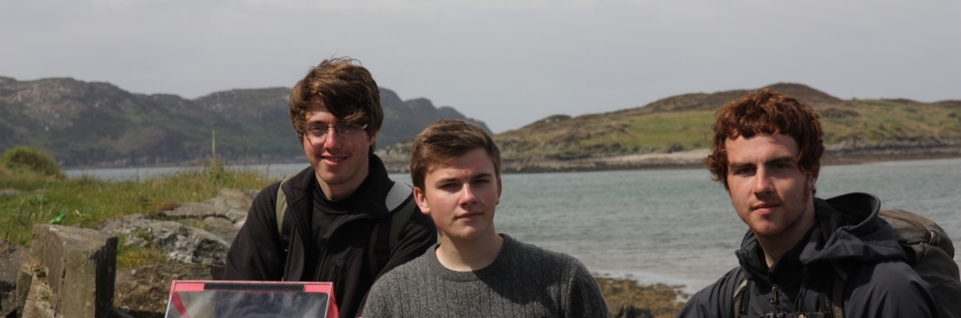
The minibus soon pulled up and I, along with other students, promptly sought shelter from the elements inside before setting off on our journey north. We were accompanied by Dr Jennie Gilbert, the module convenor, along with Dr Mark Hounslow and demonstrator Jake Surman.
Geological mapping in the rain
Some 10 hours later we arrived at Scoor House and the cottage that was to be our home for the week. We began to unpack and get settled in, before heading out to explore the surrounding area. Rolling hills and waves crashing against rocky crags and sandy beaches made for spectacular viewing.
We ventured further afield the next day to learn more about the geology of the island, and the mapping we would be carrying out during the week. We were to work in small teams to produce a 1:10,000 scale map of the area by examining outcrops of rock and marking them in coloured pencil, along with information such as their orientation, on small maps called field slips. We were to also make accompanying observations in our field notebooks, which were inked in each evening before we started playing games of charades and Uno.
Monday saw the return of the rain. Raindrops mixed with tears of despair splashed on to my maps, coloured pencil running to turn a 10 metre wide granite outcrop I had marked into a kilometre square behemoth that extended a fair way into the Atlantic Ocean.
I attempted to shield my papers from the rain, like a bodyguard trying in vain to take thousands of tiny bullets for his charge, but had little success. It seemed the trip was as much about learning to stay positive and motivated in less than desirable conditions, as it was learning the technicalities of producing a geological map.
Sunshine and rock formations
In stark contrast, Tuesday brought blue skies and blazing temperatures. After spending the morning scrambling around to see if anyone had been optimistic enough to bring sunscreen, we set off to map the outcrops along the Island’s southern coast. These featured evidence of repeated deformation, including faulting and some spectacular folds. With the sun, clear waters and white sands, the outing seemed more like a trip to the Caribbean than the Hebrides.
We continued to scour Mull the next day, mapping outcrops both on the coast and inland, on top of hills, in marshes, along beaches, within valleys and everything in-between, each location offering beautiful scenery. Our maps began filling with colour, building up a picture of the Island’s fascinating geology. This included metamorphosed sediments, granite intrusions, basalt lava flows, raised beaches and evidence of intense deformation.
Ancient rocks, Fingal's Cave and puffins
Thursday provided a welcome break from mapping, when we travelled to the island of Iona to see Britain’s oldest rocks, before heading to the island of Staffa to see the outstanding columnar basalts and Fingal’s Cave, as well as puffins. These joined the ranks of a multitude of bird species we had the opportunity to observe including buzzards, herons and even eagles.
Friday was our final day of mapping, in which we attempted to fill any remaining blank spots in our field slips. We celebrated in the evening with pancakes, before making the journey back to Lancaster early the following morning.
So here I am, home again, fighting the urge to reach into my fleece pocket and grab my compass to take a dip and strike measurement of the invitingly smooth surface of my computer desk, after a week of committing the act to muscle memory. Looking back now, I can say that, despite the rain, the field module was both enjoyable and interesting, and I would recommend it to anyone with an interest in geology and the environment.
Students all get the opportunity to go on day and residential field trips. Learn more about studying Earth and Environmental Science at Lancaster Environment Centre.
Disclaimer
The opinions expressed by our bloggers and those providing comments are personal, and may not necessarily reflect the opinions of Lancaster University. Responsibility for the accuracy of any of the information contained within blog posts belongs to the blogger.